Linux Group Shares Its First Open Dataset for Creating Real Google Maps Alternatives (lemmy.world)
gizmodo.com...

This magazine is from a federated server and may be incomplete. Browse more on the original instance.
gizmodo.com...

Pretty cool idea by using open street maps you can download the location you want and play the game there, defend your neighborhood or loot your house....

Is there a good Android app for using offline OpenStreetMap maps? My primary goal is to have maps that work when I have no connectivity. I’d like to download the entire US (or perhaps another country if I am traveling) and be able to navigate hiking trails where no cell service exists.
Hi everyone im new to the OSM community but eager to contribute. Im curious how many of you use OSM on android phones and how you interact with it. I’m interested both in terms of contributing but also using it for its map functionality e.g. navigation. Based in my early research so far the most popular apps seem to be:...
wiki.aaroads.com

Does anyone here have a phone/device just for mapping? A lot of the mapping I’m doing now is updating details of already mapped items....
Running around with StreetComplete, the app sometimes tells me to leave a note instead, which I do. Short time later, I receive an email that another person has resolved my note. That’s nice, but wouldn’t it be better to do it all on my own?...

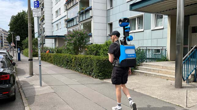
It seems pretty clear that street-level imaging on OSM is pretty lacking, unless you only want to see highways....
Hi!...
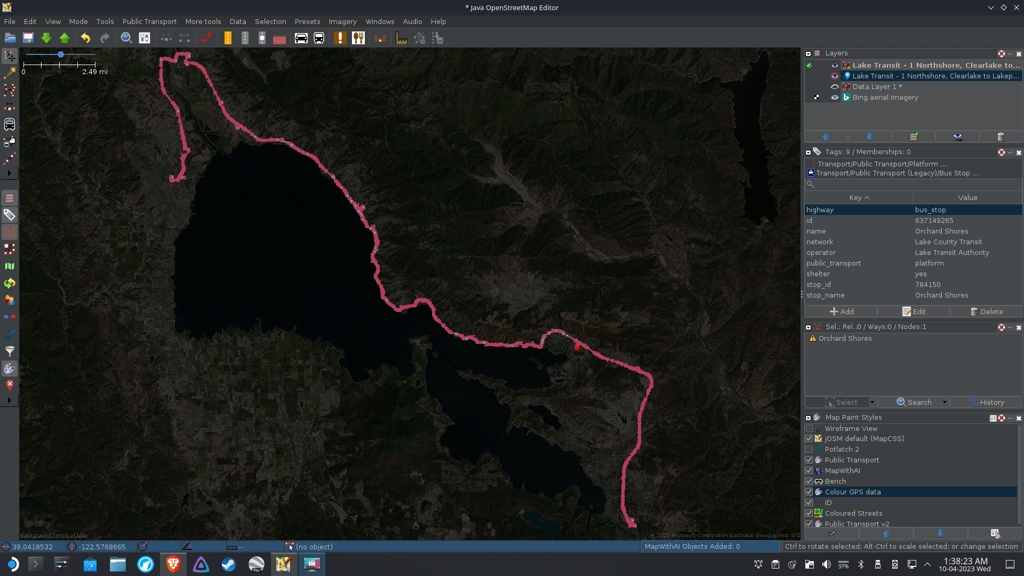
67 stops, phew… Time to sleep now.

How does your everyday map look like? Which map style do you use?
If there’s not on the F-Droid, on the google store is cool too.
I’m thinking about adding mainly road surface material and quality of my town today.
I live in an area where tons of data is missing. I mean the whole areas with no street addresses, missing streets, missing bike routes, etc....
Say, a book store with a café. Or a place that is a café by day and a wine bar by night.
I don’t see an option to enter that info on StreetComplete or EveryDoor, and it would be hard to open your laptop every time...
My biggest wish is that there’s an easy way to contribute images to wikimedia and to link them easily with osm. As soon as that’s possible, we’ll map the world much quicker and more reliable. Someone might take pictures of benches and another one will add the info if there’s a backrest from home.
Hi!...
Hey guys....
Do you know similar apps?
How many of them did you create?
I’m on a crusade to add all of the bus routes in my city (hopefully all of my country in a future), but there is no easily way as to “draw line here/add a node here as bus stop, tag as bus route X, rinse and repeat” as far as I know right?....