@mappingsupport@m.ai6yr.org
@mappingsupport@m.ai6yr.org avatar

mappingsupport

@mappingsupport@m.ai6yr.org

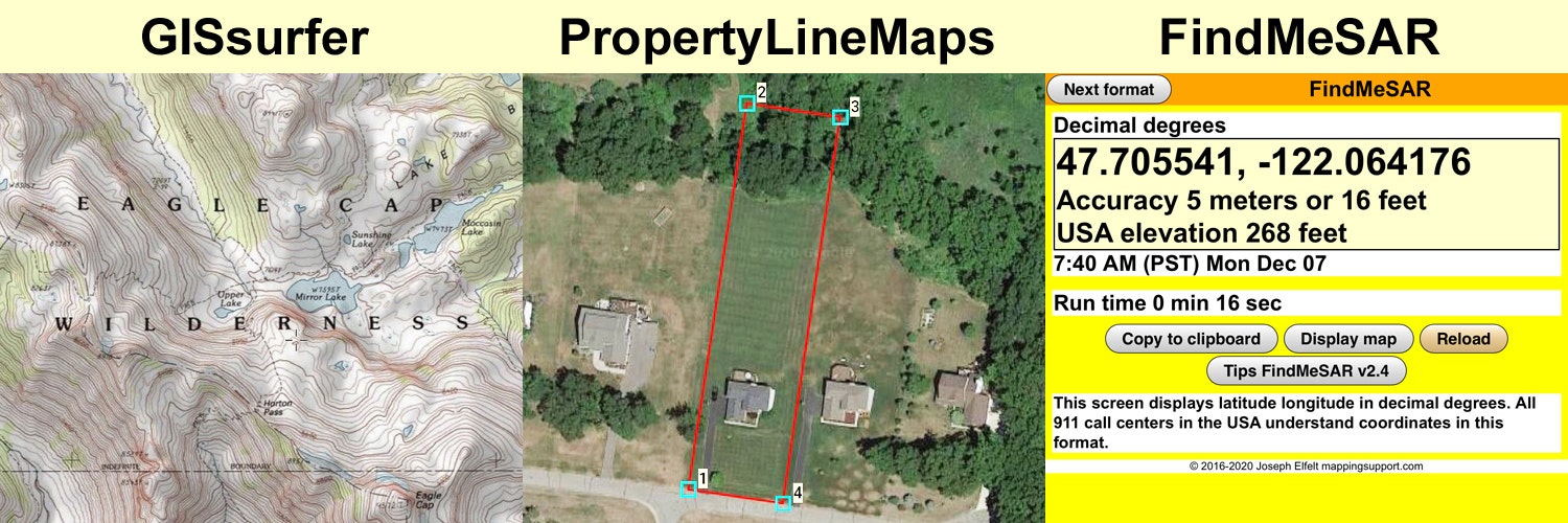
Developer of #GISsurfer web map using the #Leaflet map API.

Developer of #GeoJPG web app. Offline maps with NO ads, NO tracking, NO signup and NO fees. #PWA

Developer of #FindMeSAR web app. #PWA

Curator of 3,000+ #ArcGIS server list.

Consultant producing property line maps to help you find lost survey stakes.

Lives in #PNW.

This profile is from a federated server and may be incomplete. Browse more on the original instance.

mappingsupport, to pnw
@mappingsupport@m.ai6yr.org avatar

1/_ 🧵 Many counties (including mine - King County WA) use the CodeRed system for alerting people about a wildfire evacuation. Recently I traded email with county staff and got some details about how this works.

If your county’s emergency management web page shows they use CodeRed then there should be a signup link. When you signup, enter your address or use the map by dragging the marker, zooming in and repeating until the marker is where you live.

If my area is ordered to evacuate then I want to get that message by every means possible. We have a landline so I entered our “Home phone” number, my cell number and my main email address that I check the most often.

mappingsupport, to pnw
@mappingsupport@m.ai6yr.org avatar

Usually soggy King County WA (county seat - Seattle) is hiring for a Community Wildfire Protection Planner. Good! Nice to see local officials taking wildfire risk seriously.

https://www.governmentjobs.com/careers/kingcounty/jobs/4501231/community-wildfire-protection-planner?page=3&pagetype=jobOpportunitiesJobs

mappingsupport, to Florida
@mappingsupport@m.ai6yr.org avatar

Interactive map shows parcels that will be flooded (blue shading) using sea level as of 2016 plus a two foot rise in sea level. Click any parcel for attribute data. H/T @ai6yr for the map idea.

Map covers all of Florida. It is centered on Miami Beach when it opens.

To search on an address, click Menu > Search.

Open GISsurfer map: https://bit.ly/3ymepk7

mappingsupport,
@mappingsupport@m.ai6yr.org avatar

@ai6yr might be kind of tough to get flood insurance there

mappingsupport, to random
@mappingsupport@m.ai6yr.org avatar

Here is the latest look at the near Fort Nelson British Columbia. That town has been ordered to evacuate. The red outline is the perimeter as of early today but there is now a lot of additional satellite heat detections outside of that perimeter.

Click “Map tips” upper left corner for more info.

Open GISsurfer map:
https://mappingsupport.com/p2/gissurfer.php?center=58.821030,-122.790070&zoom=11&basemap=Canada_Toporama&overlay=VIIRS_7_day,MODIS_7_day,CA_fire_perimeter,CA_active_fires,BC_fire_perimeter&txtfile=https://mappingsupport.com/p2/special_maps/disaster/Canada_wildland_fire.txt

  • All
  • Subscribed
  • Moderated
  • Favorites
  • megavids
  • rosin
  • thenastyranch
  • mdbf
  • DreamBathrooms
  • ngwrru68w68
  • magazineikmin
  • InstantRegret
  • Youngstown
  • vwfavf
  • slotface
  • everett
  • osvaldo12
  • kavyap
  • anitta
  • khanakhh
  • tester
  • Durango
  • tacticalgear
  • GTA5RPClips
  • cisconetworking
  • ethstaker
  • cubers
  • normalnudes
  • modclub
  • provamag3
  • Leos
  • JUstTest
  • All magazines