@mappingsupport@m.ai6yr.org
@mappingsupport@m.ai6yr.org avatar

mappingsupport

@mappingsupport@m.ai6yr.org

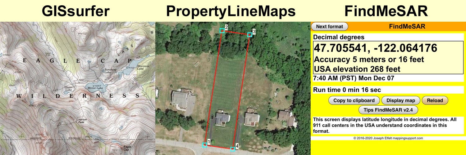
Developer of #GISsurfer web map using the #Leaflet map API.

Developer of #GeoJPG web app. Offline maps with NO ads, NO tracking, NO signup and NO fees. #PWA

Developer of #FindMeSAR web app. #PWA

Curator of 3,000+ #ArcGIS server list.

Consultant producing property line maps to help you find lost survey stakes.

Lives in #PNW.

This profile is from a federated server and may be incomplete. Browse more on the original instance.

mappingsupport, to random
@mappingsupport@m.ai6yr.org avatar

July 3. near Underwood WA. Map shows MODIS/VIIRS satellite heat detection.

To read the fire weather forecast, open the map, click the map, scroll down in the data that appears and then follow the link.

The map has lots of fire related layers you can turn on/off/restack. The ‘top’ layer can be clicked to see attribute data. Need help? See 2 links upper left corner of the map.

Open map:
https://mappingsupport.com/p2/gissurfer.php?center=45.727244,-121.571102&zoom=14&basemap=USA_basemap&overlay=State_boundary,Wildland_fire_name,USA_main_contour_lines,MODIS_7_day,VIIRS_7_day,USA_roads,NOAA_fire_weather_forecast&data=https://mappingsupport.com/p2/special_maps/disaster/USA_wildland_fire.txt

ai6yr, to LosAngeles

South Coast forecast. I wonder if I can snag these off their website.

mappingsupport, (edited )
@mappingsupport@m.ai6yr.org avatar

@ai6yr Thanks for running down the source for the data used by the California South Coast Air Quality Management District. I added that info to the list of server addresses that I curate. And of course GISsurfer can display that data. You have to click the map in order to see the air quality attribute data.

Open map (had to use a short link):
https://bit.ly/44ndwmx

mappingsupport, to gardening
@mappingsupport@m.ai6yr.org avatar
mappingsupport, to random
@mappingsupport@m.ai6yr.org avatar

Interactive map always displays the current weather watches and warnings. For details from NOAA, open the map, click any colored area and follow the link.

To search on your city or address, click Menu > Search.

For the legend and help with the map, click “Map tips” in the upper left corner.

Open map:
https://mappingsupport.com/p2/gissurfer.php?center=34.884782,-98.525391&zoom=4&basemap=USA_basemap&overlay=State_boundary,Weather_watch_warning&data=https://mappingsupport.com/p2/special_maps/disaster/USA_weather.txt

mappingsupport,
@mappingsupport@m.ai6yr.org avatar

@BakerRL75 @ai6yr Meanwhile, here at home we are expecting a nice summer day. Shhh, don't tell anyone.

mappingsupport,
@mappingsupport@m.ai6yr.org avatar

@zrb You are in luck. The weather watch/warnings come from:
https://mapservices.weather.noaa.gov/eventdriven/rest/services/WWA/watch_warn_adv/MapServer

On the 3rd line of that page, note the WFS link.

mappingsupport, to random
@mappingsupport@m.ai6yr.org avatar

@ai6yr Testing to see if Mastodon correctly recognizes the following map link. The ^ character might break Mastodon's link parser.

If the link is busted, then I will report it on GitHub. What version of the Mastodon software is your server running?

Open map:
https://mappingsupport.com/p2/gissurfer.php?center=38.519246,-121.527414&zoom=15&basemap=USA_basemap&overlay=OCIO_CAParcels&data=overlay^name=OCIO_CAParcels^url=https://services.gis.ca.gov/arcgis/rest/services/Boundaries/UCD_Parcels/MapServer^layers=0

ai6yr, to random

Dang it... Julian Sands was visible in the satellite imaging, and I missed seeing the reflection.

mappingsupport,
@mappingsupport@m.ai6yr.org avatar

@ai6yr Do you mean the green square?

mappingsupport, to random
@mappingsupport@m.ai6yr.org avatar

Interactive map with a marker where a freight train caused a bridge to collapse into the River in . Photos in news coverage show railroad tank cars in the water.

Open map
https://mappingsupport.com/p2/gissurfer.php?center=45.737806,-109.094238&zoom=9&basemap=USA_basemap&data=45.686036,-109.437561

mappingsupport, to maps
@mappingsupport@m.ai6yr.org avatar

Looking for data? I curate a list of 3,000 addresses for government ArcGIS servers, from federal to local. Each week my code scans each address and any bad links are fixed or flagged. An updated list is usually posted each Wednesday.

The list is available as a PDF, csv and txt file. Another volunteer made an API - see p.2 of the PDF.

Open PDF:
https://mappingsupport.com/p/surf_gis/list-federal-state-county-city-GIS-servers.pdf

mappingsupport,
@mappingsupport@m.ai6yr.org avatar

And more good stuff coming....

mappingsupport,
@mappingsupport@m.ai6yr.org avatar

@WXFanatic Iowa Mesonet does not appear to have tornado data on their WMS server.

Here is the GetCapabilities file:
https://mesonet.agron.iastate.edu/cgi-bin/wms/nexrad/n0q.cgi?VERSION=1.1.1&REQUEST=GetCapabilities&SERVICE=WMS

mappingsupport,
@mappingsupport@m.ai6yr.org avatar
mappingsupport, to Quebec
@mappingsupport@m.ai6yr.org avatar

Interactive map shows in Canada very active.

Red dot = fire uncontrolled
Dark red square/triangle = MODIS/VIIRS satellite heat detection in prior 6 hours.
Basemap = GOES East satellite

Satellite heat detection is not real time, locations approximate, sometimes false positive. Open the map and click “Map tips” link in upper left corner to learn more.

Open map:
https://mappingsupport.com/p2/gissurfer.php?center=51.139547,-71.455078&zoom=5&basemap=GOES_East_color&overlay=VIIRS_7_day,MODIS_7_day,CA_fire_perimeter,CA_active_fires,CA_province_boundary_blue,Lake_river_stream&txtfile=https://mappingsupport.com/p2/special_maps/disaster/Canada_wildland_fire.txt

mappingsupport, to random
@mappingsupport@m.ai6yr.org avatar

Interactive map showing in Walla Walla County, Washington. Large red squares are heat detections by GOES West satellite.

For more info about satellite heat detection see “Map tips” link upper left corner.

Open map:
https://mappingsupport.com/p2/gissurfer.php?center=46.091924,-118.792076&zoom=12&basemap=USA_imagery&overlay=VIIRS_7_day,MODIS_7_day,State_boundary,Wildland_fire_name,GOES_west_heat_detection,USA_roads&data=https://mappingsupport.com/p2/special_maps/disaster/USA_wildland_fire.txt

mappingsupport, to random
@mappingsupport@m.ai6yr.org avatar
mappingsupport, to random
@mappingsupport@m.ai6yr.org avatar

Each red dot on this map is an uncontrolled fire in .

The map has lots of fire related GIS overlays you can turn on/off/restack. For help, open the map and see the 2 links in the upper left corner.

Open map:
https://mappingsupport.com/p2/gissurfer.php?center=52.775484,-94.570312&zoom=4&basemap=Canada_Toporama&overlay=CA_active_fires&txtfile=https://mappingsupport.com/p2/special_maps/disaster/Canada_wildland_fire.txt

ai6yr, to bluesky

This tells you a lot about who you are supporting if you use or ... active pushing of theories and : https://www.nbcnews.com/tech/internet/jack-dorsey-block-nostr-kennedy-twitter-conspiracy-theories-vaccine-rcna86063

mappingsupport,
@mappingsupport@m.ai6yr.org avatar

@ai6yr I'm on the waiting list but kinda losing interest.

mappingsupport, to random
@mappingsupport@m.ai6yr.org avatar

Garden sunrise.

We have the good fortune of being able to grow a great deal of the food that we eat. I used to have a cap that said “Farmers Eat First”.

So far this year we have harvested lots of early spinach and lettuce. The first ripe strawberries have been picked and the next time we need an onion we can grab the first Walla Walla sweet onion. Later this month the earliest potatoes will show up in a meal.

mappingsupport, to random
@mappingsupport@m.ai6yr.org avatar

The in continues to burn. This MODIS/VIIRS satellite heat detection data also shows a fire has started SE of Shelburne.

Each time you open the map you will see the most recent data hosted on NASA’s server. That data is updated several times per day.

The 2 links in the upper left corner will help you get the most benefit from the map.

Open map:
https://mappingsupport.com/p2/gissurfer.php?center=43.607062,-65.532074&zoom=11&basemap=Canada_Toporama&overlay=CA_fire_perimeter,MODIS_7_day,VIIRS_7_day,CA_M3_hotspots_last_24_hours,World_transportation&txtfile=https://mappingsupport.com/p2/special_maps/disaster/Canada_wildland_fire.txt

mappingsupport, to random
@mappingsupport@m.ai6yr.org avatar
mappingsupport, to random
@mappingsupport@m.ai6yr.org avatar

Interactive map for Canada wildfires.

Please read the “Map tips” (link in upper left corner) so you do not misinterpret the satellite heat detection data.

In addition to the GIS layers that are ‘on’ when the map opens there are other overlay layers you can turn on/off/restack. Need help with that? Please read the “Map tips”.

You can pan the map to the large fire to the southwest in the Port Clyde area.

Open GISsurfer map:
https://mappingsupport.com/p2/gissurfer.php?center=44.729257,-63.837089&zoom=13&basemap=Canada_Toporama&overlay=VIIRS_7_day,MODIS_7_day,CA_active_fires&txtfile=https://mappingsupport.com/p2/special_maps/disaster/Canada_wildland_fire.txt

mappingsupport, to maps
@mappingsupport@m.ai6yr.org avatar

Introduction.

I am the developer of which is a general purpose web map with broad support for displaying GIS data. GISsurfer videos and PDFs: https://mappingsupport.com/p2/gissurfer-help.html

Curated list of 3,000+ government server addresses: https://mappingsupport.com/p/surf_gis/list-federal-state-county-city-GIS-servers.pdf
List is updated each week.

(under development) is a Progressive Web App that displays georeferenced JPGs that you can make with GISsurfer’s Menu > Screenshot mode.

mappingsupport, to random
@mappingsupport@m.ai6yr.org avatar

Do you like trails?

The USGS has an ongoing program to collect trail data from all kinds of government sources and host it all in a single GIS layer.

A quick way to move the map to your area is to do Menu > Search and enter your address.

To turn geolocation on/off tap Menu > My location.

For information about GISsurfer see the homepage: https://gissurfer.com. The ‘Help’ page has links to video and PDF tutorials.

Open map: https://bit.ly/3iPNJ3n

  • All
  • Subscribed
  • Moderated
  • Favorites
  • megavids
  • rosin
  • thenastyranch
  • mdbf
  • DreamBathrooms
  • ngwrru68w68
  • magazineikmin
  • InstantRegret
  • Youngstown
  • vwfavf
  • slotface
  • everett
  • osvaldo12
  • kavyap
  • anitta
  • khanakhh
  • tester
  • Durango
  • tacticalgear
  • GTA5RPClips
  • cisconetworking
  • ethstaker
  • cubers
  • normalnudes
  • modclub
  • provamag3
  • Leos
  • JUstTest
  • All magazines